Civil War Trails: Wytheville, VA
by Chris Brown
There are few places more remote and yet worthwhile to visit than Southwest Virginia. Tucked into the corner of Virginia, Tennessee, and North Carolina is one of the most beautiful parts of the Country. Hikers, bikers (and cyclists), and music fans all flock to area. While this region was not a hotbed for Civil War operations there are, of course, Civil War Trails signs to help guide you as you prepare to Visit Southwest Virginia.
One of our frequent stops is in Wytheville, located just off Interstate 81 and Interstate 77.
There are several Civil War Trails signs, covering Union approach into town. You can find the some of those sites on our new interactive map. If you follow the signs west from Wytheville, driving against Toland’s route into town you’ll immediately see why this region of Virginia is so acclaimed for its natural beauty.
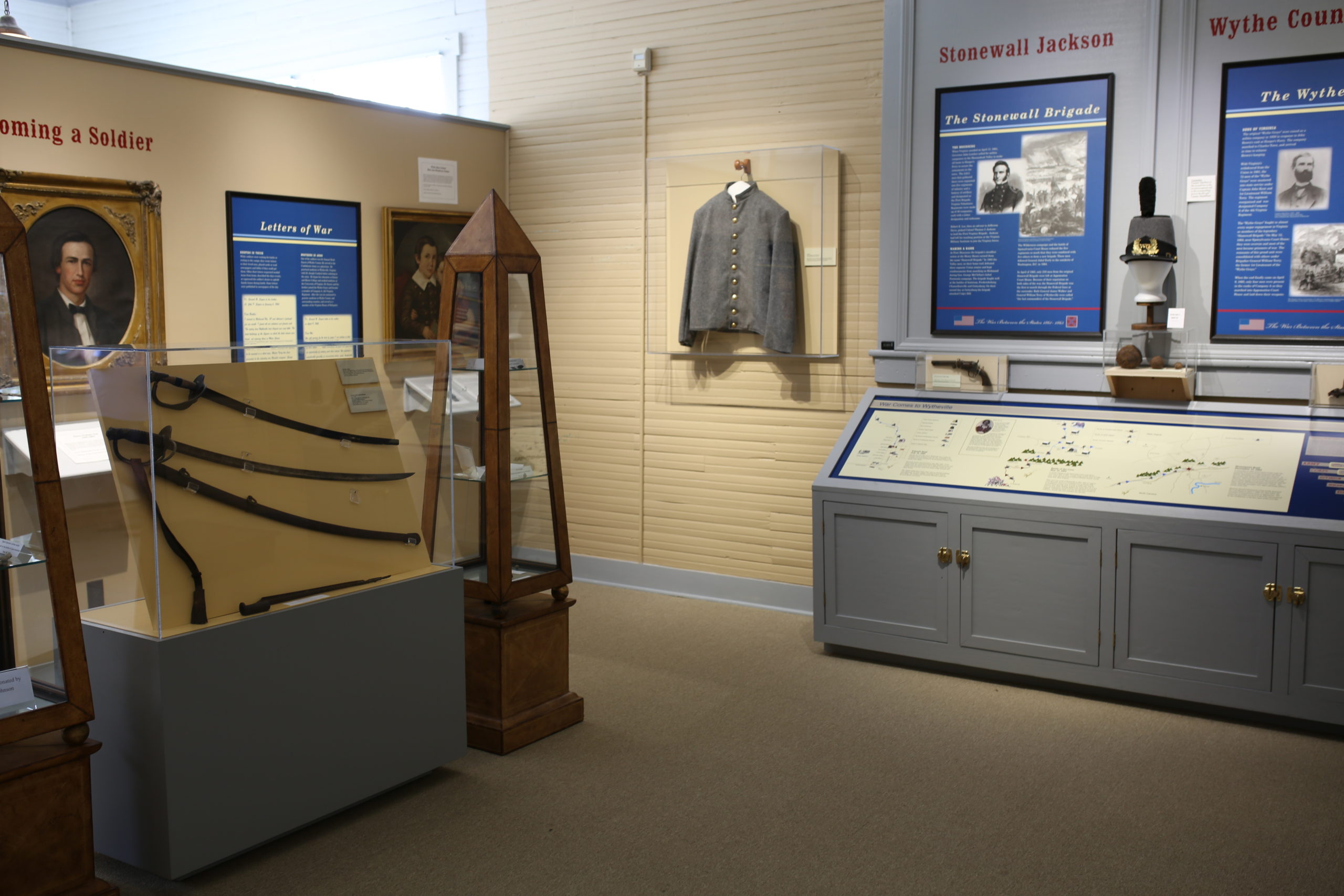
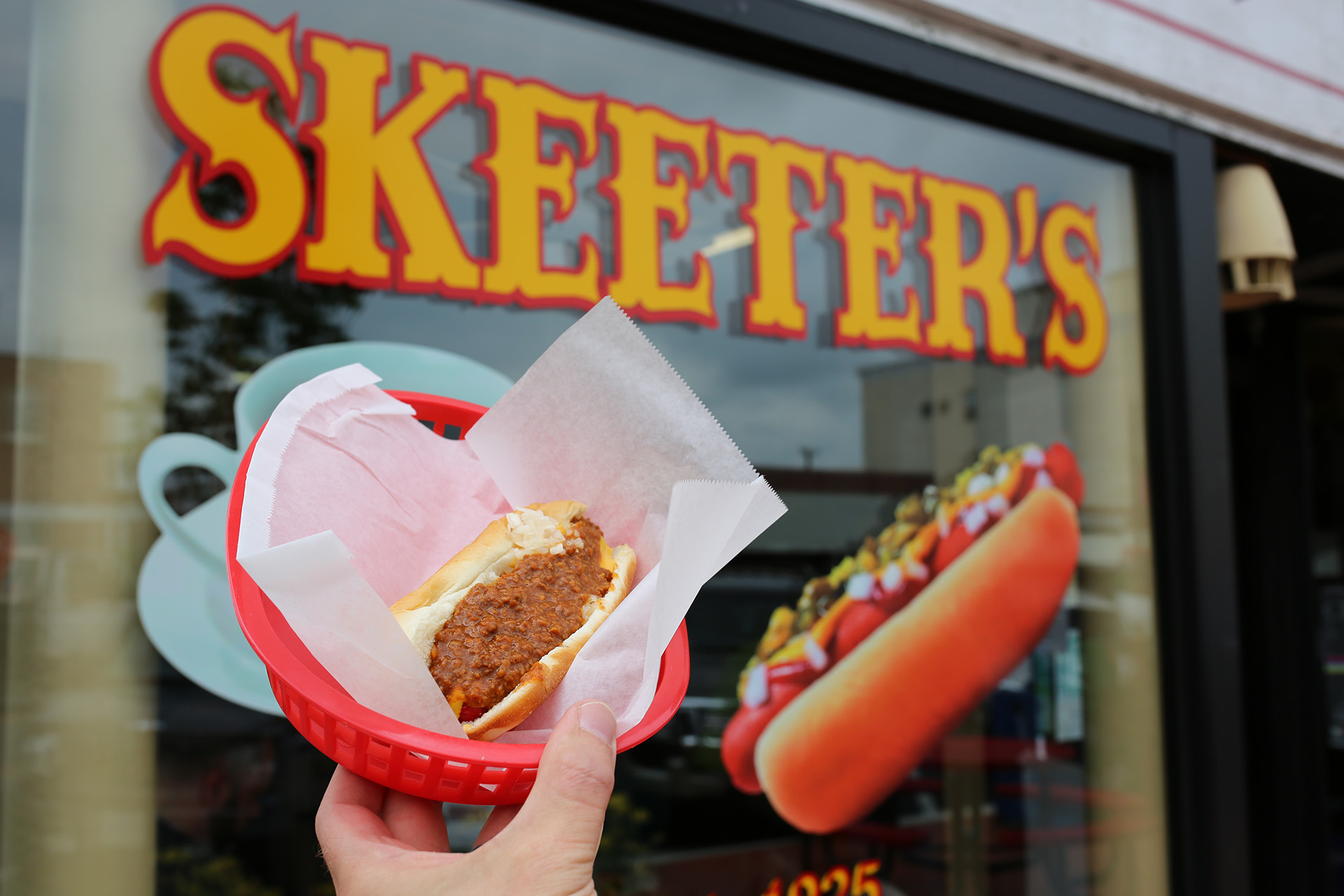
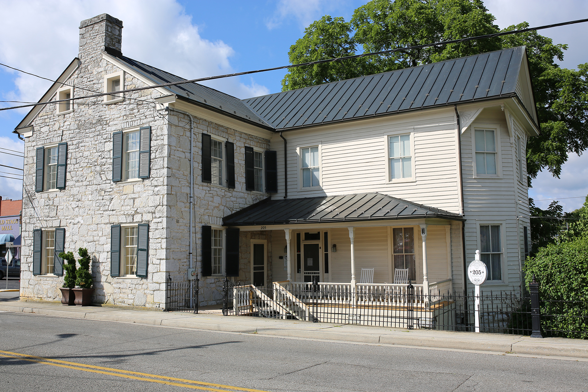
We recommend you start your visit downtown at Skeeter’s World Famous Hot Dogs. As you know we take eats and drinks just as seriously as we take history. After a nibble, stroll down Tazewell Street and pop into the Haller-Gibboney Rock House museum. The stone building was reported to have sustained damage during the fighting and was also used as a hospital after the 1863 and 1864 raids.
No battlefield trip is complete without a brewery as you stroll town you’ll likely pass Seven Sisters Brewing. If you stay longer in town than expected or if you are traveling with a partner consider spending the night in the beautiful Bolling Wilson Hotel. Interesting in visiting Wytheville? There’s only one! Check out their website here for all the activities and amenities that will be sure to please the whole family.
Let us help you travel like a local. Take a look at our maps, and don’t hesitate to ask for our recommendations for good eats, drinks, and lesser known spots along the way. Follow #civilwartrails and create some history of your own.